
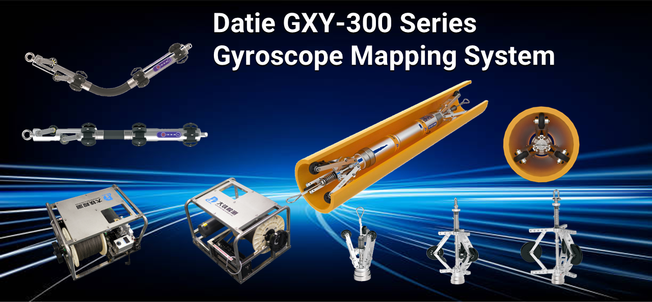

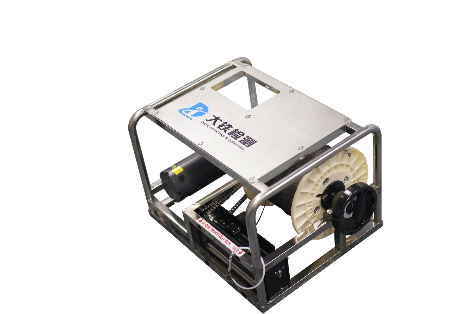
DT-eWinch
DT-eWinch designed several lengths of wire rope, dedicated for DT-GXY-300 Series mapping used.
DT-GXY-300mini
Small-caliber pipeline measurement enables gyroscope mapping in tight spaces, revolutionizing the telecommunication industry.
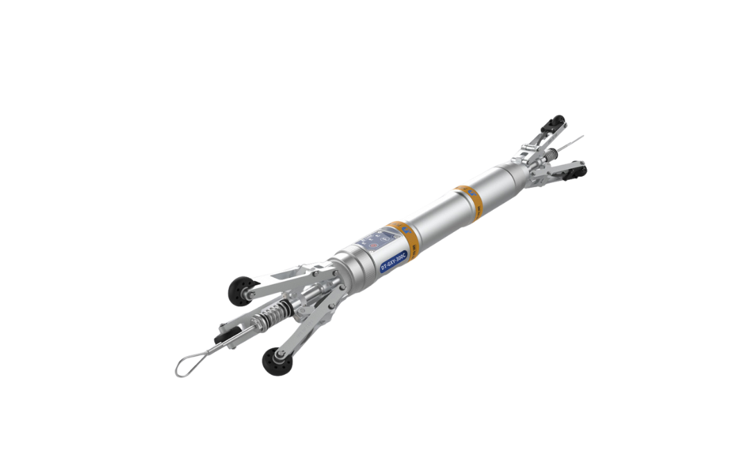
DT-GXY-300C
DT-GXY-300C specially designed for
short-distance pipelines mapping
application.
DT-GXY-300C
DT-GXY-300C specially designed for short-distance pipelines mapping application.
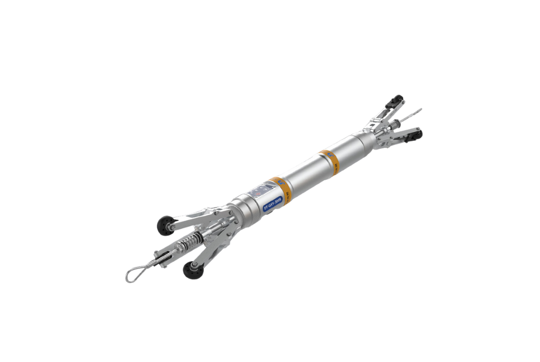
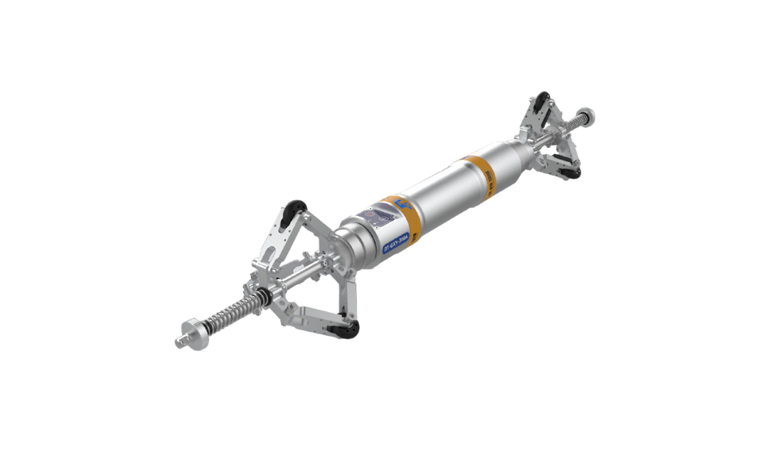
DT-GXY-300A
The DT-GXY-300A, our flagship model, excels in long-distance petrochemical, gas, and water pipelines with superior dispersion control and measurement accuracy.
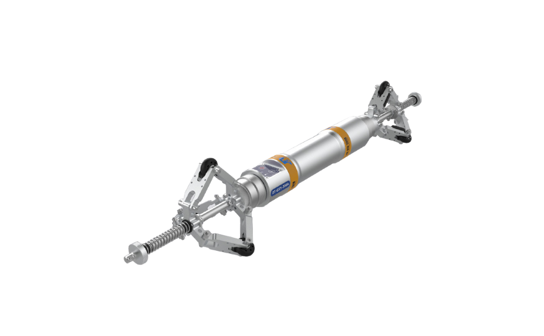
DT-GXY-300B
DT-GXY-300B designed for medium length gas and water pipelines, basically covering more than 90% of horizontal directional drilling and laying pipeline distance.
DT-GXY-300D
The DT-GXY-300D, with its compact design, excels in power pipeline measurement, overcoming challenges like tight bends and poor welding to enhance passability.


